Purpose of Grant
To deliver a comprehensive plan of actions at specific locations on the Upper Rhiddorch River by mapping erosion and deposition locations and stabilising the stream through the creation of woodland enclosures.
To deliver a comprehensive plan of actions at specific locations on the Upper Rhiddorch River by mapping erosion and deposition locations and stabilising the stream through the creation of woodland enclosures.
The requested grant allowed The Wester Ross Fishery Trust to begin a mixture of research and conservation work on the upper catchment area (Glen Douchary) of the Rhidorroch River.
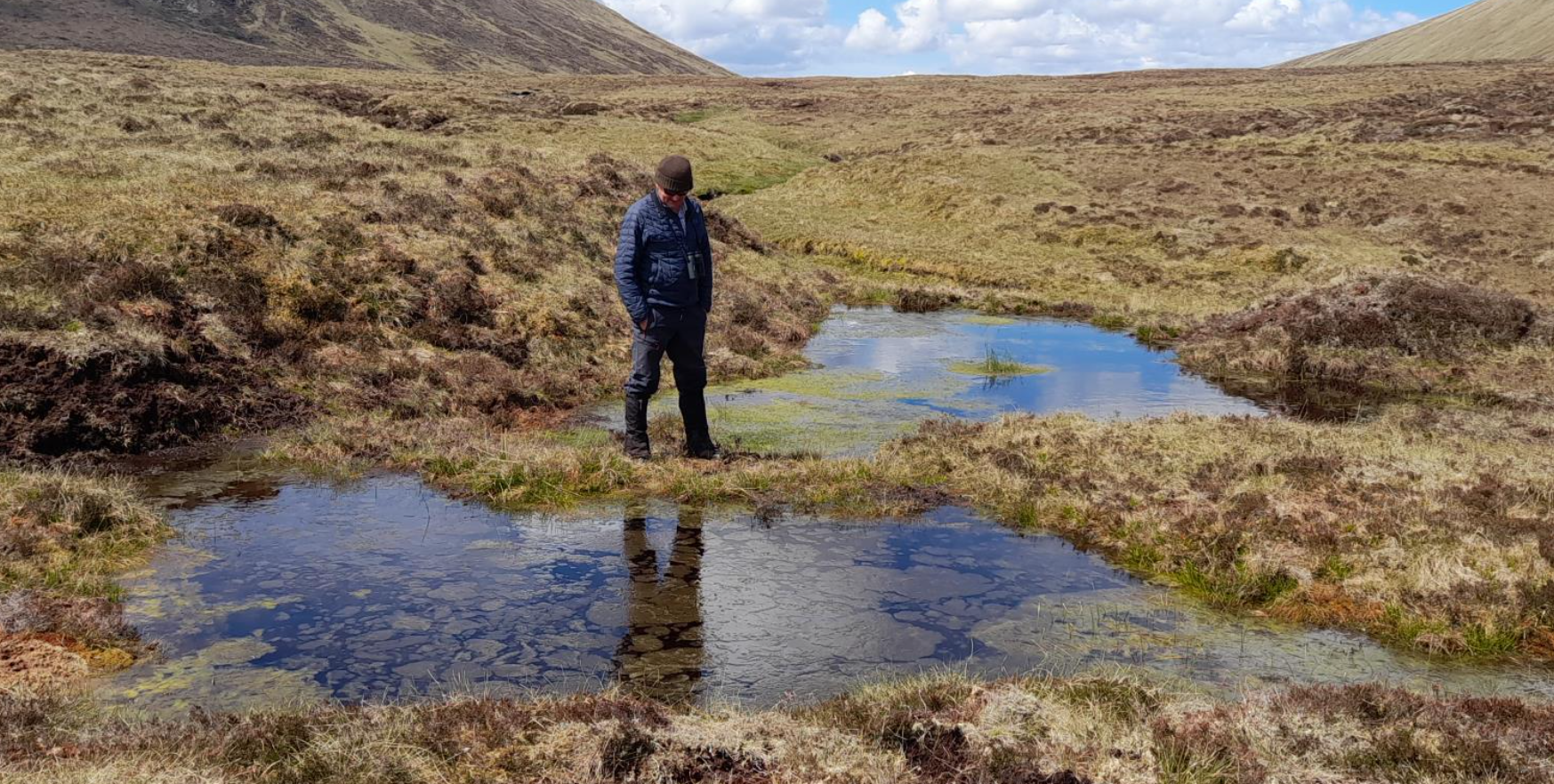
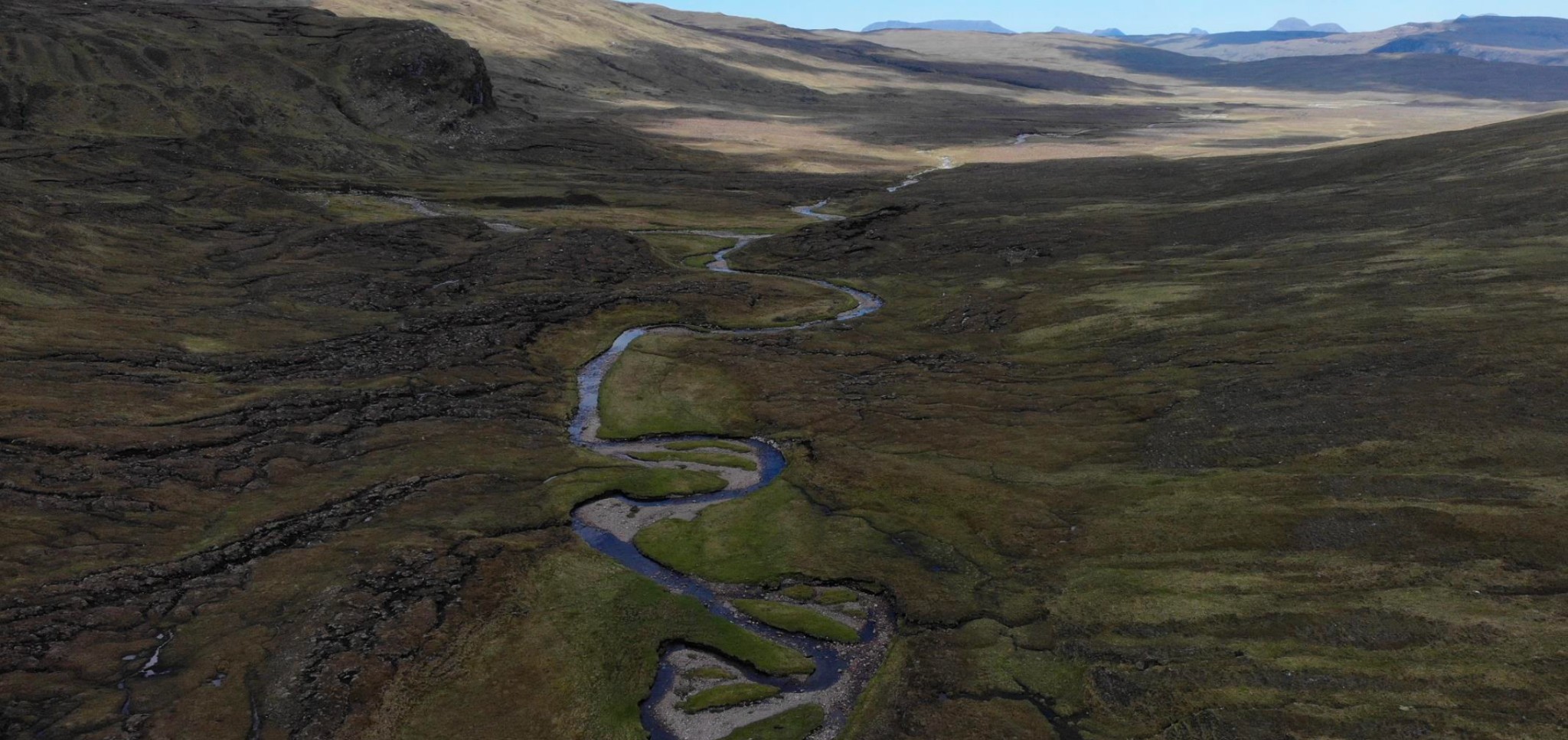
One of the core areas for salmon production in the Ullapool River is in the Rhidorroch River above Loch Achall. Much of the habitat in this part of the river is unstable, with river channel movement, bank erosion and frequent transportation and redeposition of sediment. The project delivered a costed plan of actions at specific locations to reduce sediment inputs and stabilise the Rhidorroch River for the ultimate benefit of wild salmon, other wildlife, livestock production and people. The intention was that this plan led directly to subsequent implementation of additional projects. There were three pillars to this project and activities included:
• Mapping out the major sources of sediment input within the upper catchment area (Glen Douchary);
• Preparing a plan to reduce erosion and sediment input, thereby reducing sediment deposition within the floodplain of the Rhidorroch River and improving stream stability;
• Developing a series of riparian woodland enclosures within a recently deer-fenced off section of river to provide greater protection from erosive spates.
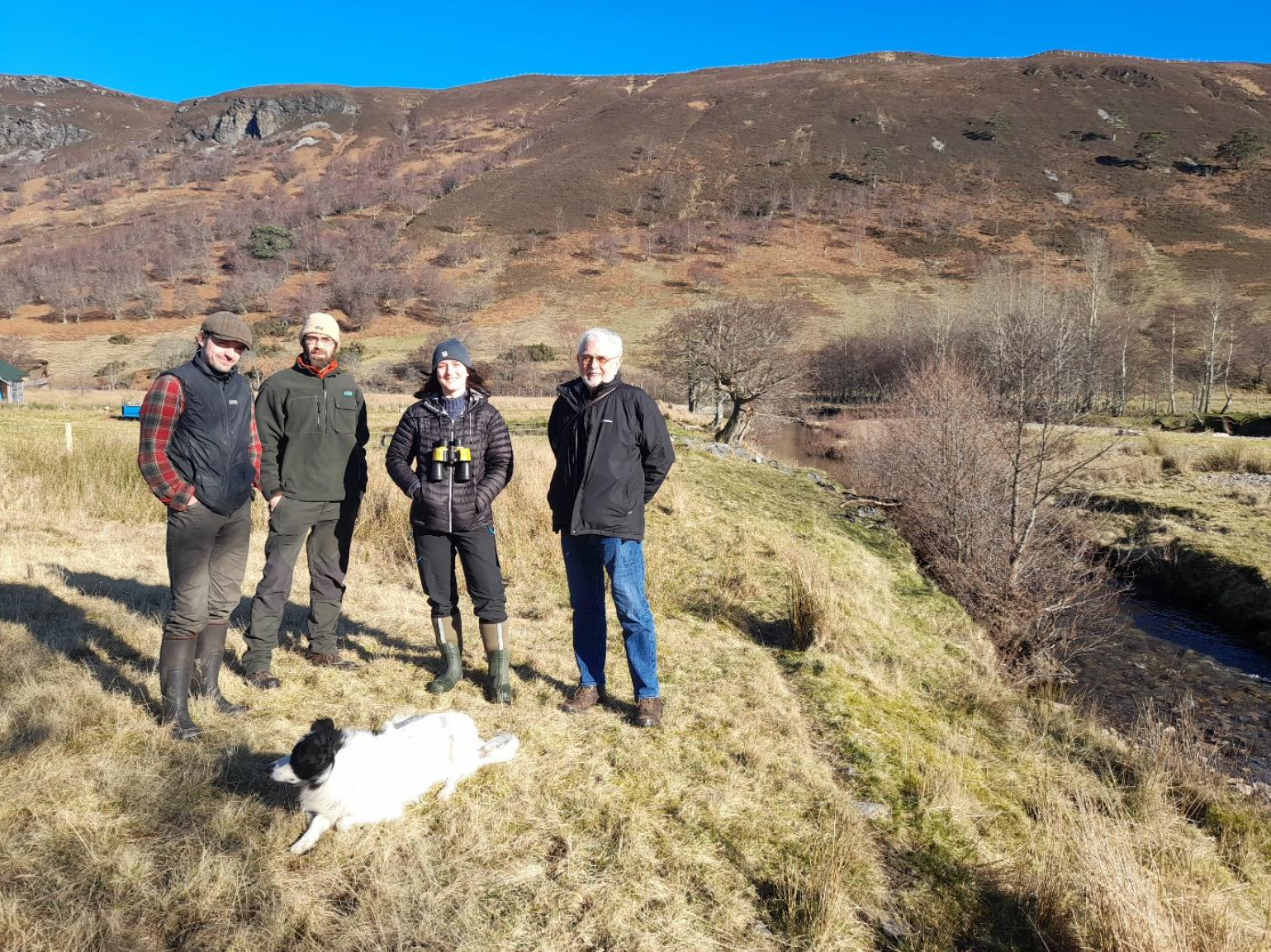
Mapping activities required specific expertise and the Trust contracted a rural economy specialist to undertake this element of the project. Remaining activities were managed and overseen by WRFT staff and trustees. Volunteers also participated in the development of the woodland enclosures. It is estimated up to 20 individuals directly participated in the initiative and the project had a duration of 12 months.
The requested grant of £20,074.20 was given and this covered the entirety of the project costs.

If you are interested in receiving updates on the Wild Fisheries Fund, sign up to our newsletter.